The obligation of the surveyor engineer is to capture and analyze the space with accurate and reliable measurements with the ultimate goal of the safe and efficient development of the projects.
Akrivas Charalampos
ABOUT
Charalampos Akrivas graduated from the Department of Land Surveying & Architecture. He graduated from the National Technical University of Athens in 2004 and since then he has been working as a freelancer maintaining a technical office in Chania, Crete.
Services

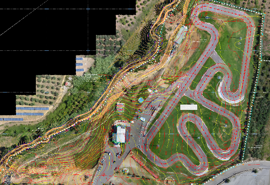
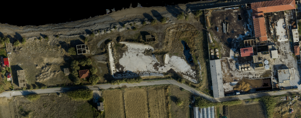
Excavations – Topographical Project Support
Impressions of Buildings and Monuments
3D Laser Scanning

Ground and Airborne Photogrammetric Applications
Volumetric Imprints
Hydraulic – Transportation – Road Studies

Land Registry declarations
Projects
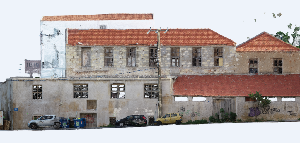
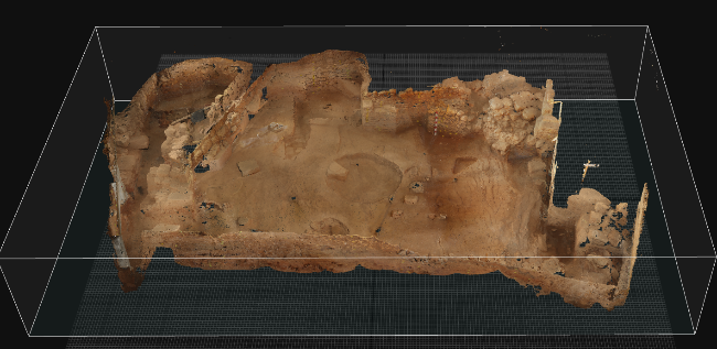
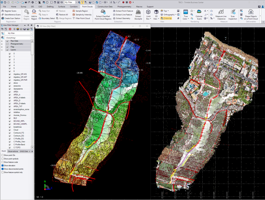
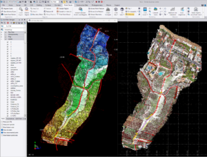
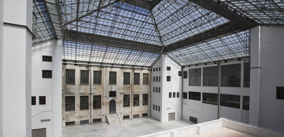
A preserved industrial building of the early 20th century in the Tabakaria district of Chania
- Map of a building complex using Laser scanner
- Western view/section of a building complex using Laser scanner
Industrial building
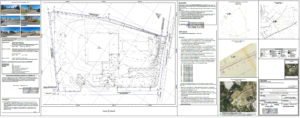
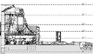
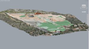
Mapping of a byzantine temple in the prefecture of Chania
- Transverse section of the temple
- Northern view of the temple

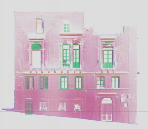
Mapping of facades, floor plans and surroundings of the Holy Trinity Church of Tzagarola in Chania.
- The Holy Trinity Church with the surrounding area as captured and rendered in a 3D model in CAD environment
- Photogrammetric rendering of the eastern side of the wing of the monastery, Photogrammetric rendering of the section of a wing of the monastery