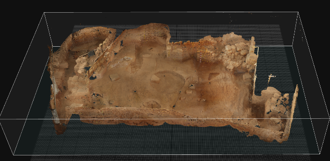
Mapping of a byzantine temple in the prefecture of Chania Transverse section of the temple Northern view of the temple View project
Mapping of facades, floor plans and surroundings of the Holy Trinity Church of Tzagarola in Chania. The Holy Trinity Church with the surrounding area as captured and rendered in a 3D model in CAD environment Photogrammetric rendering of the eastern side of the wing of the monastery, Photogrammetric rendering of the section of a wing of the monastery View project
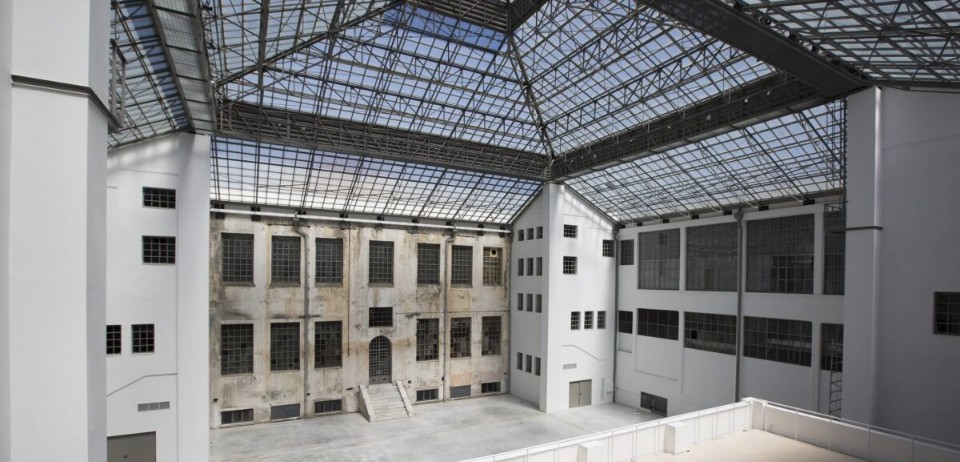
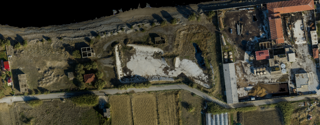
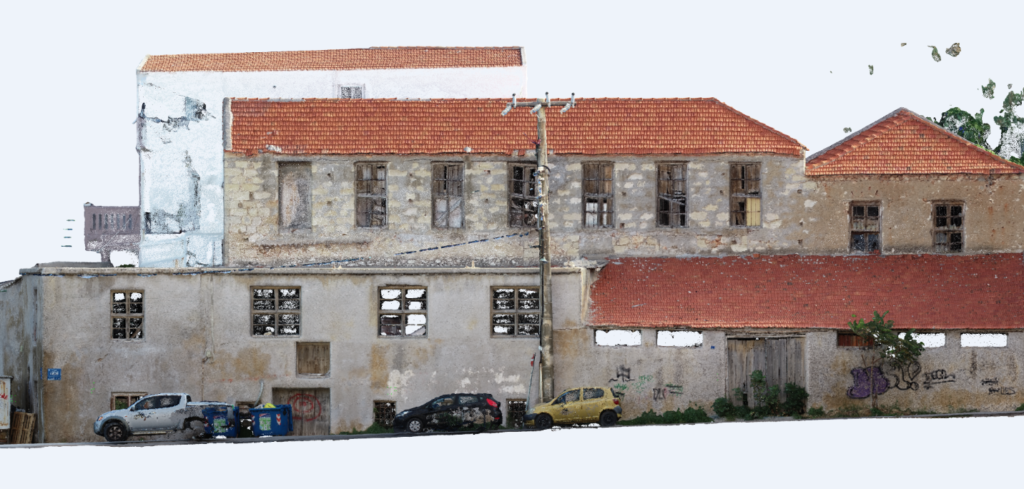
A preserved industrial building of the early 20th century in the Tabakaria district of Chania Map of a building complex using Laser scanner Western view/section of a building complex using Laser scanner View project