- Services
- Volumetric Imprints
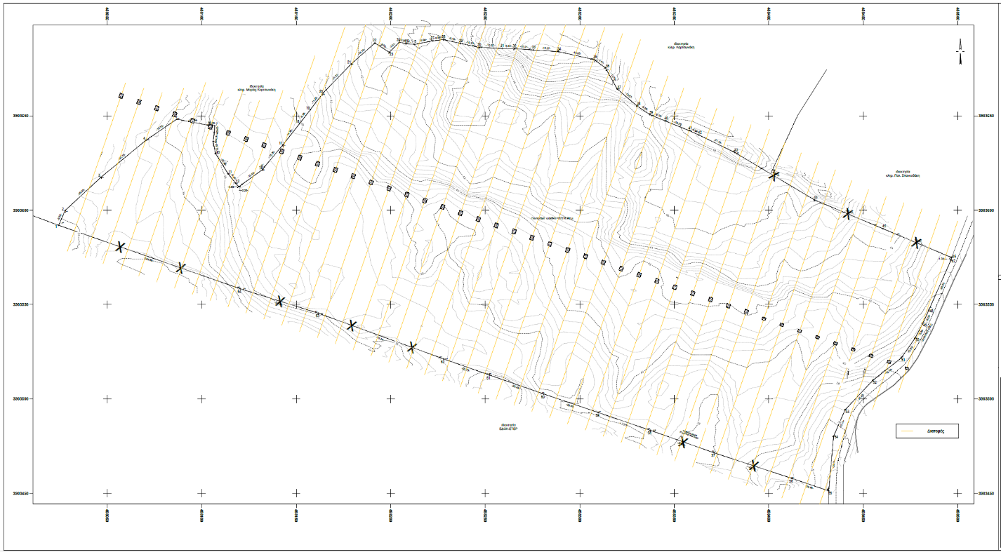
We have tested aerial UAV drone technology and use this method as an alternative or in combination with ground surveying techniques. This makes volumetric surveys cost and time efficient.
Data from the survey is entered into modelling software to produce accurate reserve volumes or to calculate earthwork volumes.
We provide independent professional services to both quarry operators and earthworks contractors.
A volumetric survey is a task that accurately measures the volume of a stockpile or earthworks.
With our volumetric surveys, you will receive qualitative and quantitative data provided in 3D format, as well as aerial photos and videos if specified for the project.