- Services
- Ground and Airborne Photogrammetric Applications
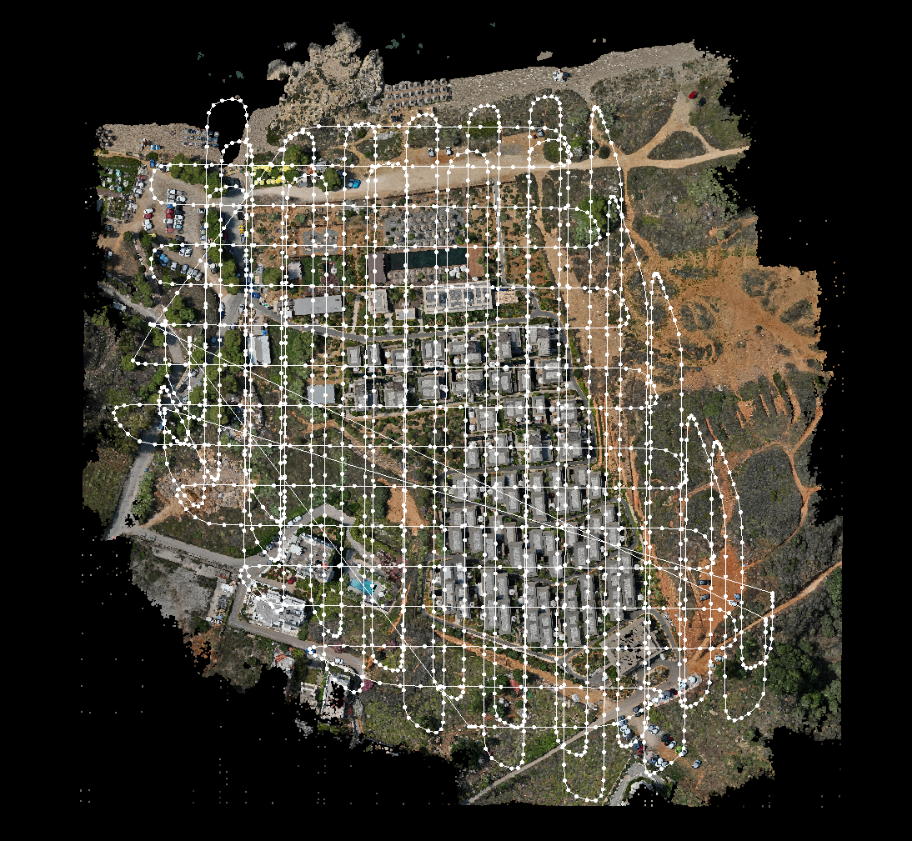
In the case of large surfaces or inaccessible areas or buildings, the optimal mapping methodology is that of UAV aerial photogrammetry. The planning and implementation of aerial flights shall be carried out by an authorised operator who has the appropriate pilot licence and the corresponding certified capability to operate aircraft. The result of the method is a set of orthorectified aerial photographs.