- Services
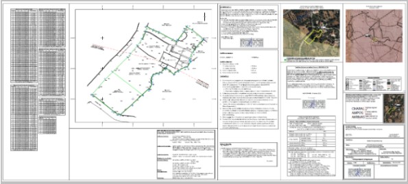
- Topographical Diagrams
For example:
- Notarial deeds of purchase and sale, transfers, etc.
- Electronic submission of diagrams to the National Cadastre
- Diagram of geometric variations
- Subdivisions – amalgamations of pitches
- Buildability issue
- Delimitation of plots – parcels – areas – structures
- Definition of seashore & beach
- Forestry classification acts
- Act of regularisation – revalorisation – annexation
- Implementing act
- Corrective implementing act
- Application diagram
- Topographical studies for the preparation of hydraulic studies, road studies, architectural studies, structural studies, geological and geotechnical studies, etc.
- Cadastral studies
- Applications of town and city planning studies
- Topographic surveys for the issuance of building permits
- Delimitation of land parcels (plots, plots of land)