- Services
- 3D Laser Scanning
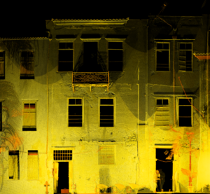
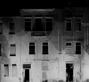
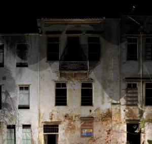
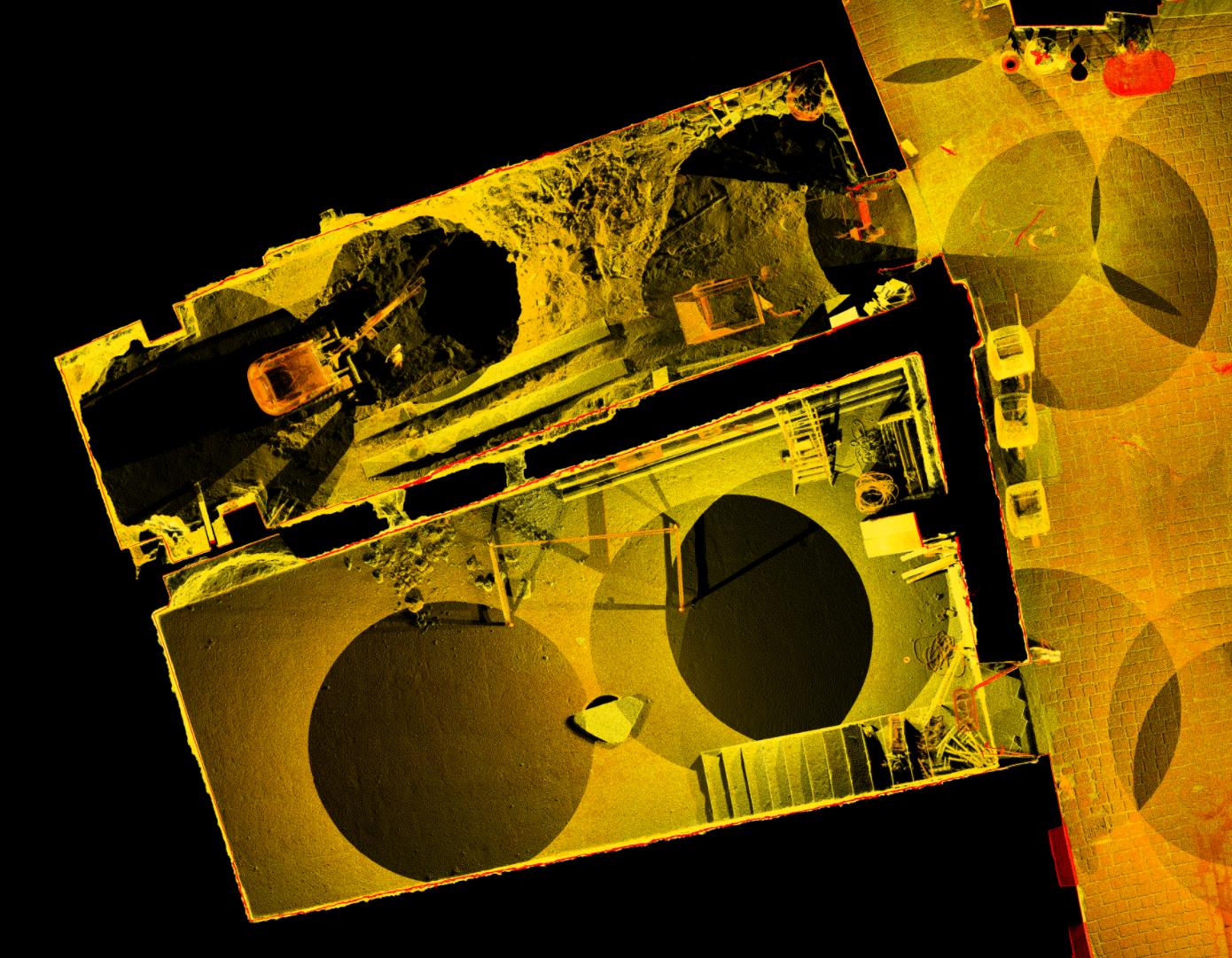
This method works by collecting a point cloud remotely with high speed and accuracy. The data collected in a 3D scan can be used to produce floor plans, elevations, and sections. We can also produce realistic 3D visualizations.
- Renovation
- Reconstruction
- Restoration of buildings
- Restoration of monuments, churches, special buildings or restoration of listed buildings
- Documenting complex interiors of building or industrial facilities
- Establishment of Building Information Models – BIM
The office uses the latest 3D scanning technology,
recording over 1 million points per second, to produce extremely high levels of detail and accuracy.
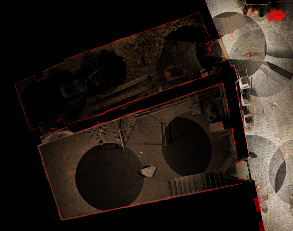
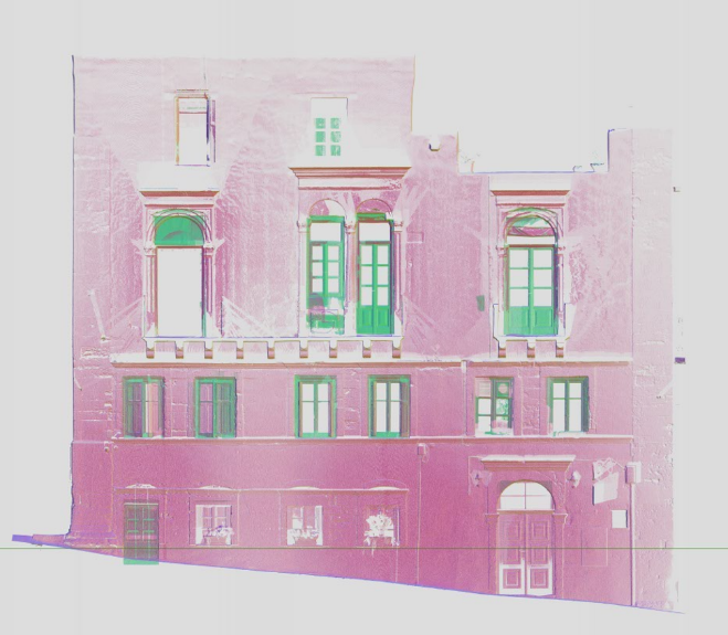
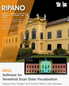
The final deliverable can also be delivered in either point cloud format or in a suitable point cloud viewing program (RiPANO)
this allows even non-specialized users to generate high-precision orthophotos. These orthophotos can be used to produce detailed architectural drawings. It also makes it possible for a third-party user to view, process, measure, and annotate information.